About
The District boundary is entirely within Weld County
HISTORY

In the early 1930’s the United States experienced an unparalleled ecological disaster known as the Dust Bowl. Severe, sustained drought in the Great Plains caused soil erosion and the loss of productive topsoil leading to huge black dust storms that blotted out the sun. The storms stretched south to Texas and east to New York. Dust even sifted into the White House and onto the desk of President Franklin D. Roosevelt. After seeing the sky black with dust in Washington, the U.S. Congress unanimously passed legislation declaring soil and water conservation a national policy and priority. Since about three-fourths of the United States was privately owned, Congress realized that only active, voluntary support from landowners would guarantee the success of conservation work on private land. In 1937, President Roosevelt wrote the governors of all the states recommending legislation that would allow local landowners to form soil conservation districts.
OUR PRIORITY
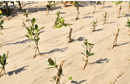
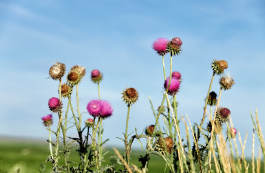
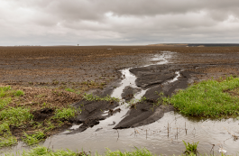
Natural Resources
-

Soil Health -
Erosion Prevention -

Water Quality & Quantity -
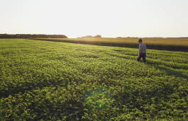
Ag Land Preservation -
Range Management -
Invasive and Noxious Weeds -

Conservation Education -
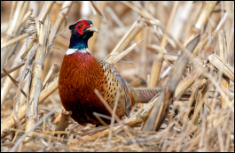
Wildlife Habitat -

Land Use Planning -
Environmental Disaster Response
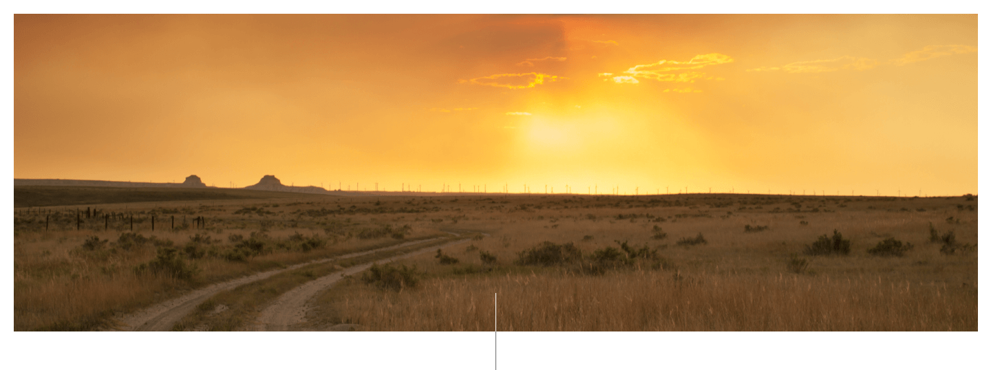
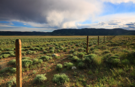
WHERE WE WORK
We extend North to the Wyoming border, East to New Raymer and West to the Weld County line. Our Southern boundary is a little harder to verbalize as we share southern Weld with several other Conservation Districts, but the boundary includes: Johnstown/Milliken area, Lasalle, Kersey and down around Keenesburg.
Land ownership within the District is:

The West Greeley Conservation District was established on June 14, 1948, in accordance with the Colorado Soil Conservation.